

뉴질랜드 도보 길(산책 길) 난이도-Walking Track Category

뉴질랜드 정보 트램핑 클럽 대원들이 트램핑을 시작하기 전에 대장의 설명을 듣고 있다.
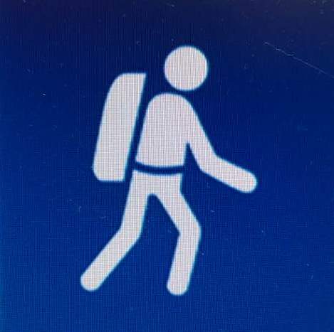
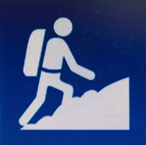
뉴질랜드 도보 길(walking track)의 시작에는 시(City Council)나 DOC(Department of Conservation, 보존부)에서 설치해 놓은 안내판이 있다. 그 안내판에는 도보 길 난이도(Walking Track Category)가 표시되어 있다. 산길이나 바닷길을 걸을 때 참고하면 좋다.
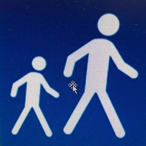
▣ 아주 쉬운 길(Easiest: Easy access short walk)

대상: 모든 사람. 휠체어 탄 사람, 유모차나 편하게 걷는 사람에게 좋음.
상태: 평평한 길. 길이 잘 만들어져 있음. 계단이나 가파른 길 없음. 개울이나 강을 건너게 될 경우 다리로 연결되어 있음.
길 표지: 특별한 표지 없음. 길이 분명하게 보임.
신발: 산책용 신발이면 무난.
Duration: Easy walking for up to an hour.
Suitable for: People of all abilities, wheelchairs, buggies and strollers.
Standard: Even surface, well formed with no steps or steep sections. Stream and rivers are bridged.
Track markers: No track markers as the track is well defined.
Footwear required: Walking shoes.
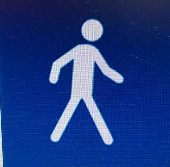
▣ 아주 쉬운 길(Easiest: Short walk)
시간: 한 시간 안쪽, 걷기 쉬운 길.
대상: 건강한 사람이면 모든 연령대 가능. 아이들도 함께할 수 있음.
상태: 평평한 길. 길이 잘 만들어져 있음. 배수 잘 되어 있음. 계단이 있을 수도 있음. 개울이나 강을 건너게 될 경우 다리로 연결되어 있음.
길 표지: 특별한 표지 없음. 길이 분명하게 보임.
신발: 산책용 신발이면 무난.
Duration: Easy walking for up to an hour.
Suitable for: People of most ages and fitness levels.
Standard: Track is well formed, with an even, well drained surface. There may be steps. Stream and rivers crossings are bridged.
Track markers: No track markers as the track is well defined.
Footwear required: Walking shoes.
▣ 쉬운 길(Easy: Walking Track)
시간: 편하게 걸을 수 있는 길, 몇 분 길에서 하룻길까지.
대상: 중간 정도 아래의 체력을 지닌 사람까지. 어떤 길은 산악 자전거가 가는 길이라고 생각하면 됨.
상태: 길 대부분이 잘 만들어져 있음. 어떤 길은 가파르거나, 거칠고 진흙 상태일 수 있음. 등산길이 분명하게 표시되어 있음. 개울이나 강을 건너게 될 경우 다리로 연결되어 있음.
길 표지: 가는 길에 오렌지색의 삼각형 표시가 나무에 달려 있음. 종종 다른 색깔로 된 표시도 볼 수 있는데, 그건 길이 아닌 자연 보호 차원에서 만들어 놓은 것임.
신발: 보통 신발 또는 가벼운 등산화.
Duration: Gentle walking from a few minutes to a day.
Suitable for: People with low to moderate fitness and abilities. Some tracks suitable for mountain biking.
Standard: Track is mostly well formed, some sections may be steep, rough or muddy. Clearly signposted. Stream and river crossings are bridged.
Track markers: Track is clearly marked where necessary with orange triangles attached to trees. Markers of other colours may be present but these indicate biodiversity work areas and are not walking tracks. Above the bushline, marker poles are used instead.
Footwear required: Walking shoes or light tramping/hiking boots.
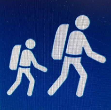
▣ 중간 길(Intermediate: Great Walk/Easier tramping track)
기간: 며칠 동안 걸어야 하는 트램핑 혹은 하이킹 길.
대상: 멀리 떨어진 산길을 다닌 경험이 있는 사람. 어떤 길은 산악자전거가 가는 길이라고 생각하면 됨.
상태: 길 대부분이 잘 만들어져 있음. 어떤 길은 가파르거나, 거칠고 진흙 상태일 수 있음. 등산길이 분명하게 표시되어 있음. 개울이나 강을 건너게 될 경우 다리로 연결되어 있음.
길 표지: 가는 길에 오렌지색의 삼각형 표시가 나무에 달려 있음. 종종 다른 색깔로 된 표시도 볼 수 있는데, 그건 길이 아닌 자연 보호 차원에서 만들어 놓은 것임. 숲속에서는 표시 막대가 설치되어 있기도 함.
신발: 가벼운 등산용 신발, 전문 등산용 신발.
Duration: Comfortable multi-day tramping/hiking
Suitable for: People with limited backcountry (remote area) experience. Some tracks suitable for mountain biking.
Standard: Track is generally well formed, some sections may be rough, muddy or steep. Track has signs, poles or markers. Major stream and river crossings are bridged.
Track markers: Track is clearly marked where necessary with orange triangles attached to trees. Markers of other colours may be present but these indicate biodiversity work areas and are not walking tracks. Above the bushline, marker poles are used instead.
Footwear required: Light tramping/hiking boots.
▣ 힘든 길(Advanced: Tramping track)
기간: 하루 또는 며칠 동안 걸어야 하는 트램핑 혹은 하이킹 길.
대상: 중간 이상의 체력을 지닌 사람으로, 멀리 떨어진 산길을 다닌 경험이 있어야 함. 어떤 길은 산악자전거가 가는 길이라고 생각하면 됨.
상태: 길 대부분이 꼴을 갖추고 있지 않음. 어떤 길은 거칠거나 가파름. 등산길이 분명하게 표시되어 있음. 다리가 없는 개울이나 강을 건너게 되는 경우도 있음.
길 표지: 가는 길에 오렌지색의 삼각형 표시가 나무에 달려 있음. 종종 다른 색깔로 된 표시도 볼 수 있는데, 그건 길이 아닌 자연 보호 차원에서 만들어 놓은 것임. 숲속에서는 표시 막대가 설치되어 있기도 함.
신발: 등산용 신발, 전문 등산용 신발.
Duration: Challenging day or multi-day tramping/hiking
Suitable for: People with moderate to high level backcountry (remote areas) skills and experience, navigation and survival skills required. Some tracks suitable for mountain biking.
Standard: Track is mostly unformed, may be rough and steep. Track has markers, poles or rock cairns. Expect unbridged stream and river crossings.
Track markers: Track is clearly marked where necessary with orange triangles attached to trees. Markers of other colours may be present but these indicate biodiversity work areas and are not walking tracks. Above the bushline, marker poles or rock cairns are used instead.
Footwear required: Tramping/hiking boots.
▣ 전문가 길(Expert: Route)
기간: 밤을 새워 걸어야 하는 트램핑 혹은 하이킹 길.
대상: 최상급의 체력을 지닌 사람으로, 멀리 떨어진 산길을 다닌 경험이 있어야 함. 내비게이션 이용법과 생존법을 숙지하고 있는 사람. 혼자서 모든 걸 할 수 있는 사람이어야 함.
상태: 길이 꼴을 갖추고 있지 않음. 어떤 길은 매우 거칠거나 가파름. 등산길은 표시되어 있음. 다리가 없는 개울이나 강을 건너게 되는 경우도 있음.
길 표지: 가는 길에 오렌지색의 삼각형 표시가 나무에 달려 있음. 종종 다른 색깔로 된 표시도 볼 수 있는데, 그건 길이 아닌 자연 보호 차원에서 만들어 놓은 것임. 숲속에서는 표시 막대가 설치되어 있기도 함.
신발: 전문 등산용 신발.
Duration: Challenging overnight tramping/hiking.
Suitable for: People with high level backcountry (remote areas) skills and experience, navigation and survival skills required. Complete self sufficiency required.
Standard: Track unformed and natural, may be rough, muddy or very steep. Track has markers, poles or rock cairns. Expect unbridged stream and river crossings.
Track markers: Track is clearly marked where necessary with orange triangles attached to trees. Markers of other colours may be present but these indicate biodiversity work areas and are not walking tracks. Above the bushline, marker poles or rock cairns are used instead.
Footwear required: Sturdy tramping/hiking boots.
자료 출처_DOC


